
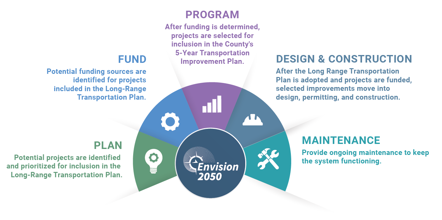
Coordinated Investment Strategy
Coordination maximizes the impact of tax dollars invested and creates safer, more efficient travel options for residents and businesses.
Welcome to the second Envision 2050 Open House! We're excited you're joining us to shape the future of transportation in Lake County.
Click the arrows at the bottom of your screen to visit each section.
Use the navigation bar/menu to revisit any part of the meeting.
Leave your feedback any time on our Comment Form.
Planning today for how Lake County moves tomorrow.
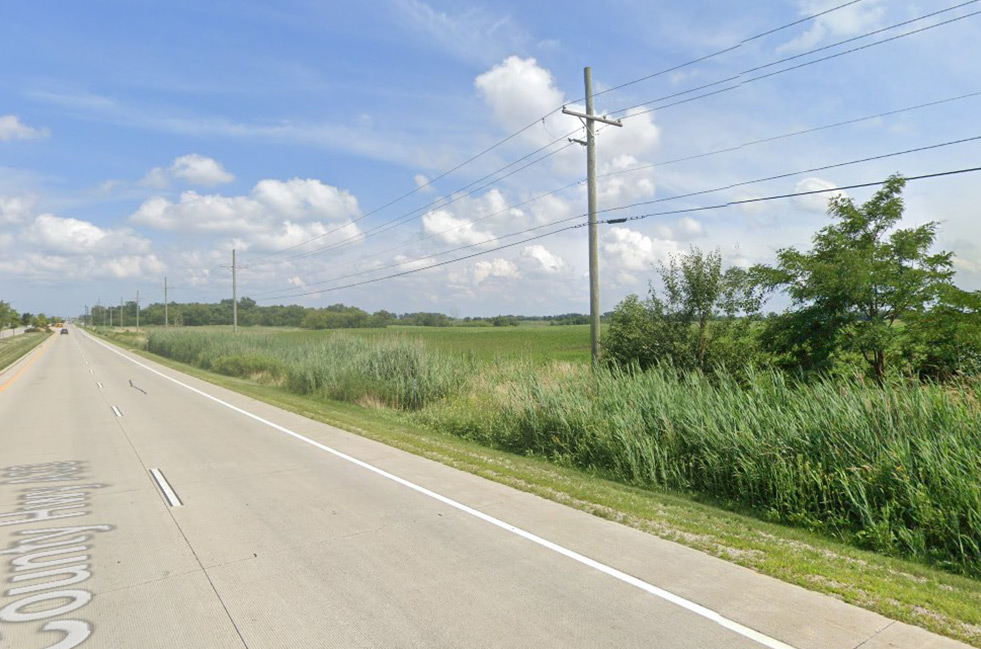
Envision 2050 is Lake County’s Long Range Transportation Plan. It looks ahead to the year 2050 to guide how people and goods travel safely, efficiently, and reliably across the county.
This plan helps Lake County make informed decisions about future transportation investments — so improvements reflect community priorities and support a strong regional future.
A Long-Range Transportation Plan (LRTP) is a state required strategic document that guides transportation investments and policy decisions for a 20–25-year planning horizon. You can think of it as a comprehensive blueprint that helps the county make smart and coordinated decisions about transportation.
Coordination maximizes the impact of tax dollars invested and creates safer, more efficient travel options for residents and businesses.
Many state and federal transportation grants require communities to demonstrate that projects align with an adopted long-range plan.
The LRTP process involves an extensive analysis of current transportation conditions while projecting future growth patterns, traffic, and travel demands. This will help to not only fix today’s issues but build a transportation system that will serve Lake County for decades to come.
To ensure meaningful and inclusive public engagement, Envision 2050 follows a phased approach that keeps the public involved from start to finish.
Understand existing conditions and community needs
Draft goals, priorities, and strategies
Identify projects with public input
Finalize the plan to guide future investments
“We envision a sustainable, resilient transportation system that meets today’s needs while preparing for tomorrow. Built on safety, reliability, inclusivity, and innovation, our system drives prosperity for all, strengthens communities against climate challenges, and connects people, places, and opportunities.”
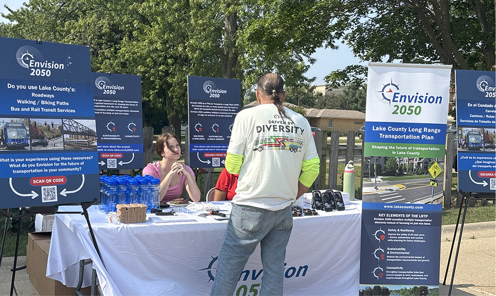
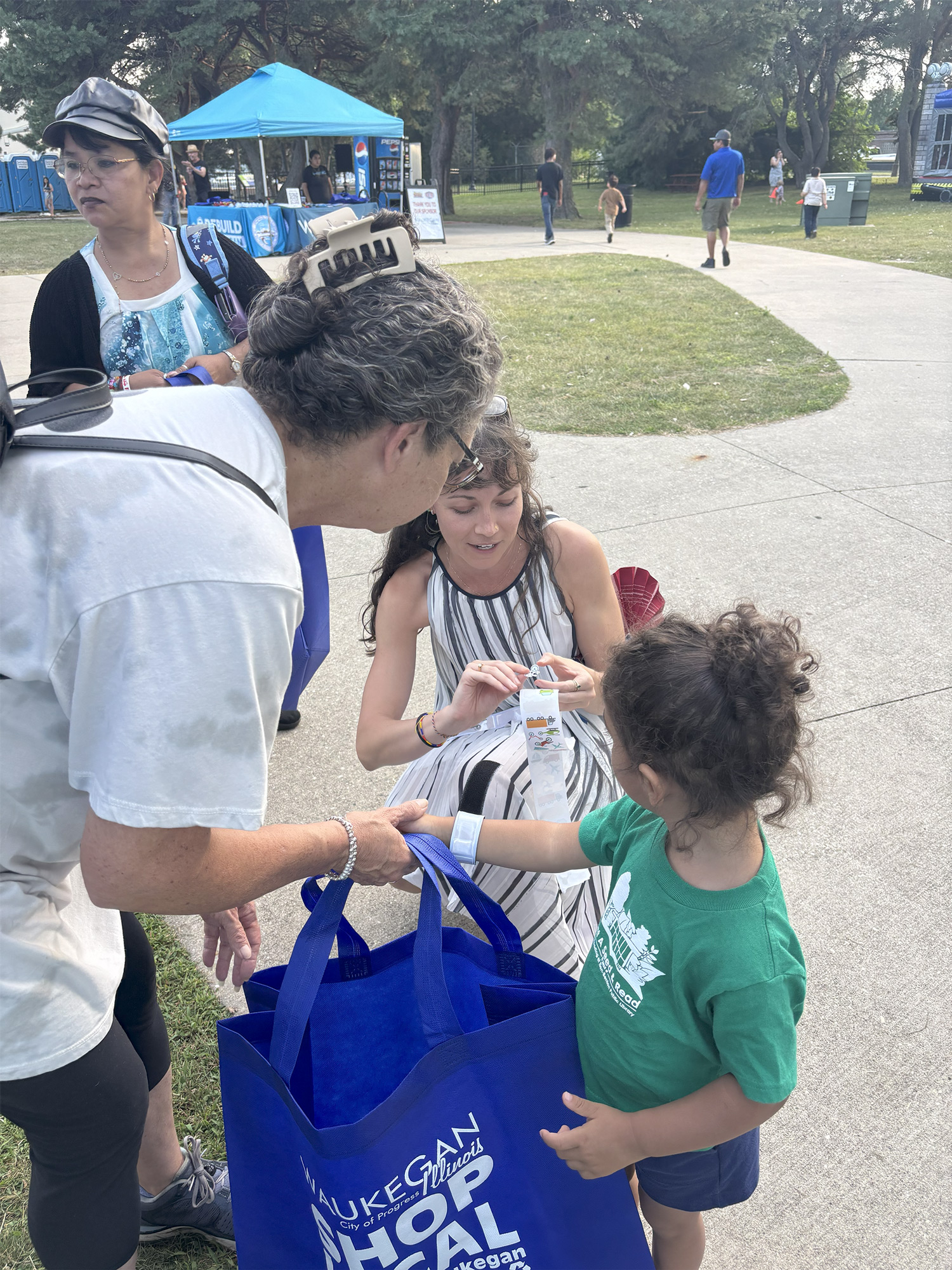
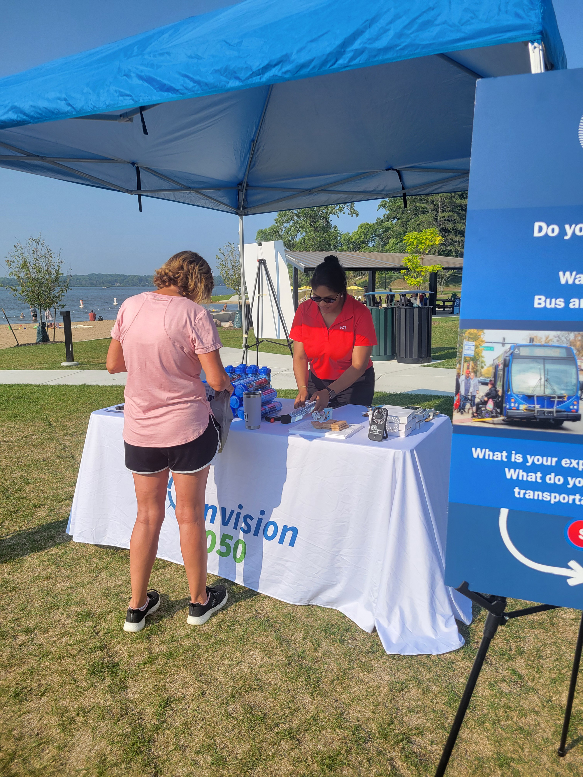
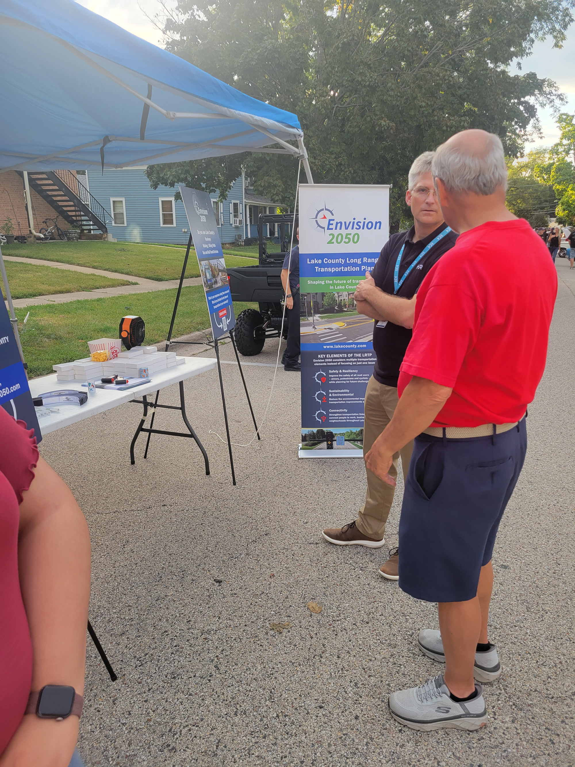
Phase 1 of Envision 2050 focused on Discovering what matters most to Lake County residents, leaders, and community partners as the foundation for a long-range transportation vision.
Five community pop-up events in Waukegan, Zion, Fox Lake and Wauconda last summer 2025 at festivals, and familyoriented events, engaging hundreds of Lake County residents.
August 2, 2025
200–300 Attendees
August 8, 2025
1,400–1,600 Attendees
August 5, 2025
200–300 Attendees
August 19, 2025
1,500–1,700 Attendees
Phase 1 included five stakeholder meetings with three groups; the Non-Motorized Task Force, Steering Committee, and Local Government Task Force. 12 stakeholder organizations and 7 local governments participated to gather local perspectives on transportation safety, connectivity, coordination, and alignment with regional plans.
A Phase 1 survey was conducted to collect initial community input. Here’s what we heard:
Total number surveys recieved
Route 120 from Route 12 to U.S. 45 & U.S. 45
Routes 83, 120, & 137
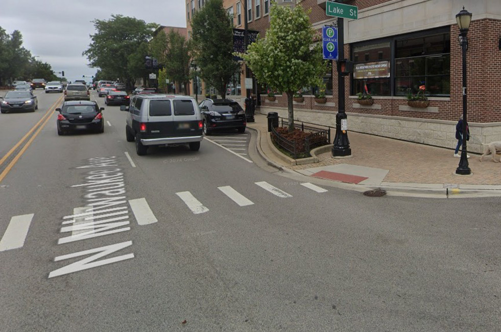
Crossing Milwaukee Ave in Libertyville
North Shore Bike Path
Crossing at Midlothian Rd & Old McHenry Rd
Routes 83 & 120
Routes 22 & 53
Antioch, Lake Villa, Gurnee, & Waukegan
Gurnee to Schaumburg


Road & Traffic Congestion: Bottlenecks, signal timing
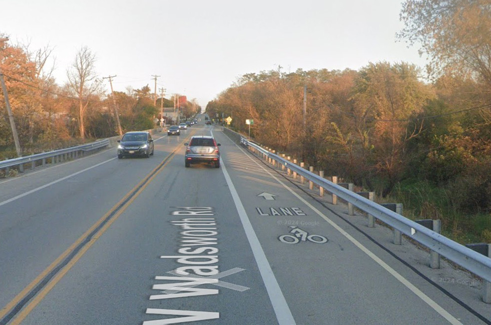
Bike Infrastructure: Additional bike lanes, trail connectivity
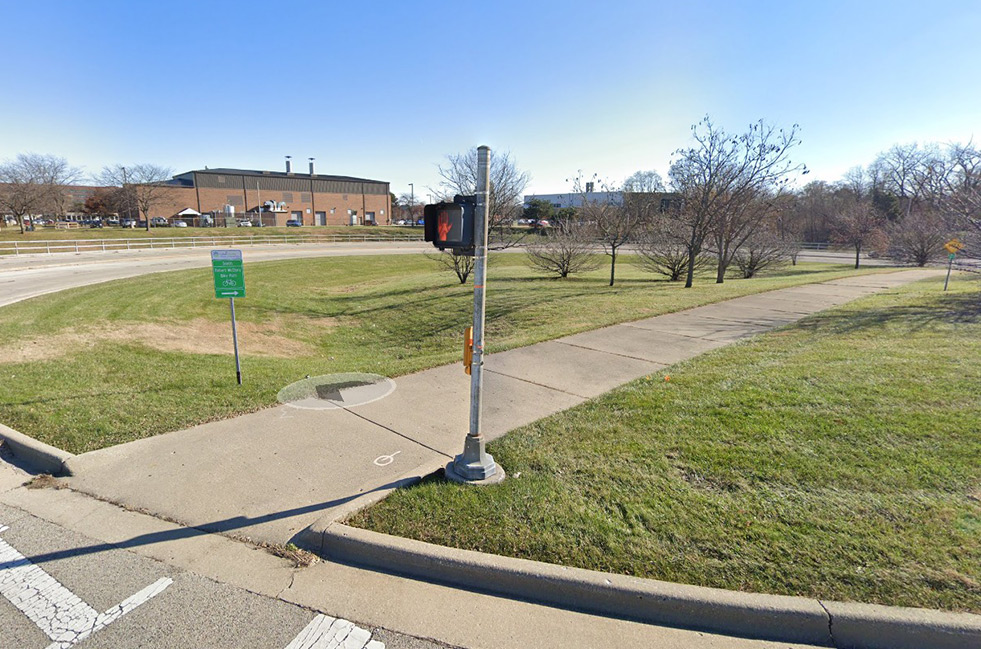
Sidewalks & Pedestrian Safety: Dangerous intersections, missing sidewalks
Limited & Infrequent Public Transit: Increase in bus & train service
Train Delays: Additional overpasses & underpasses
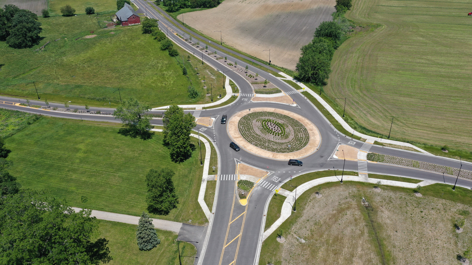
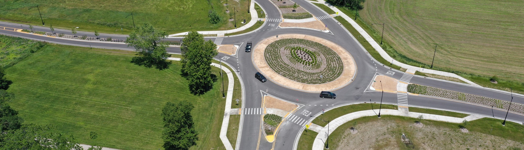
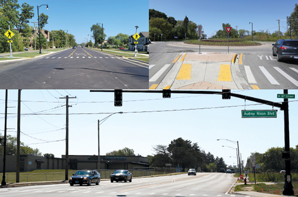
Converting traditional intersections to roundabouts reduces fatal and injury crashes by about 82% on average.
Pavement resurfacing keeps roads in a state of good repair.
Backplates with retroreflective borders can reduce total crashes at signalized intersections by approximately 15%.
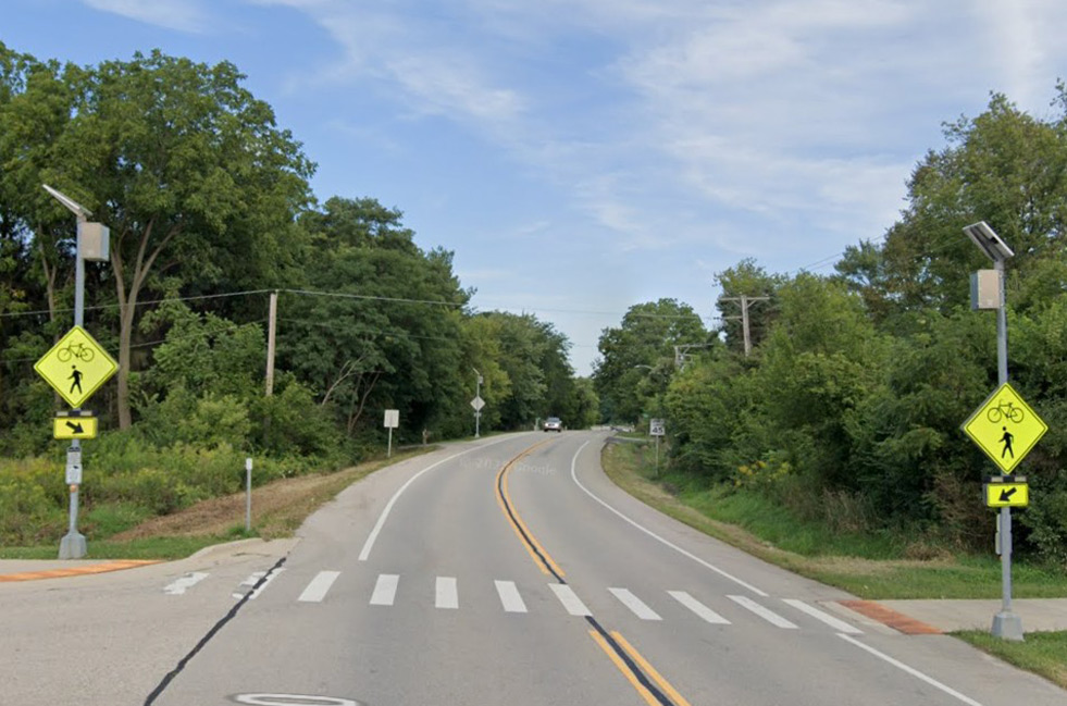
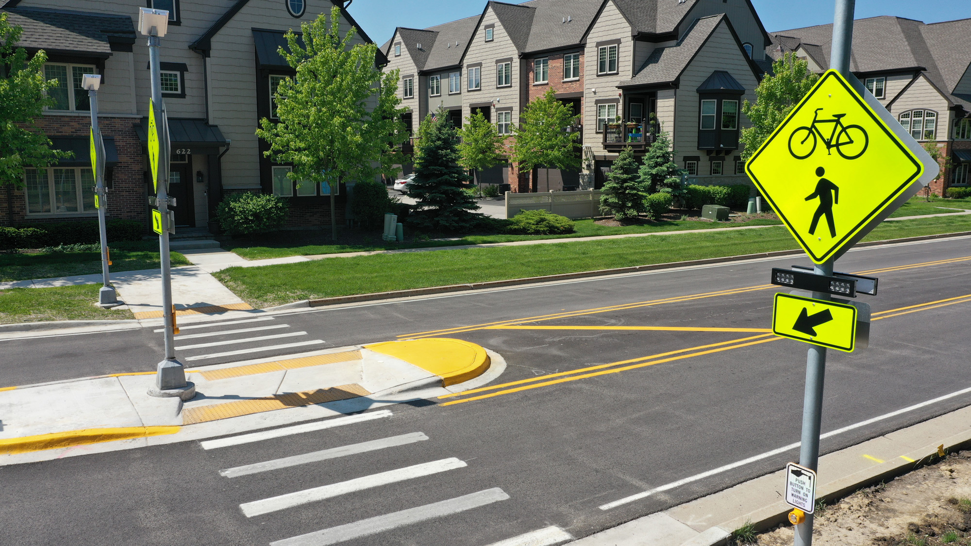
Reduce pedestrian crashes up to 47% and increase driver yielding rates high as 98% at marked crosswalks.
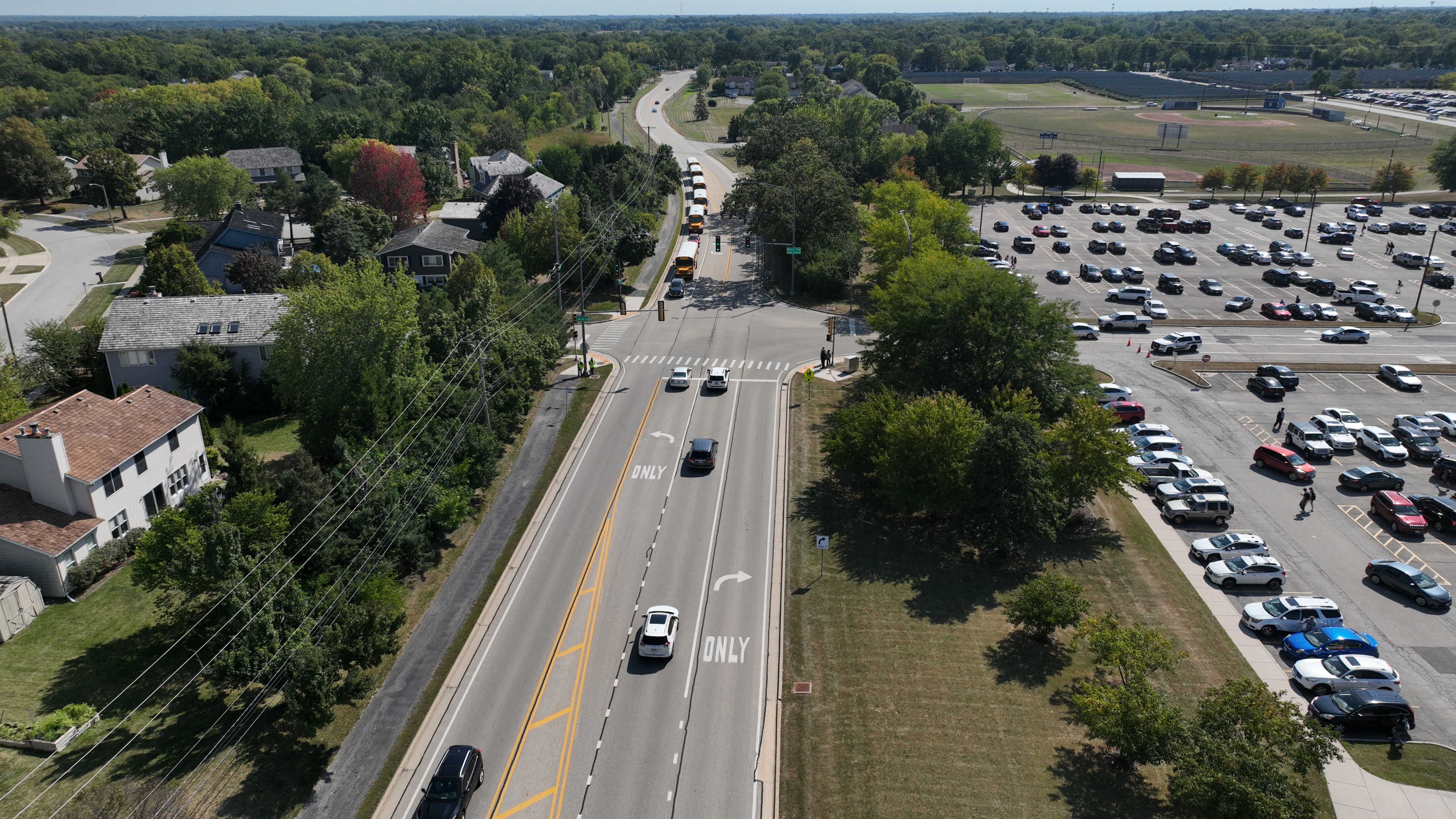
Providing wider shoulders is associated with meaningful reductions in run‑off‑ road crashes, which account for over half of roadway fatalities nationwide. They also provide space for bicyclists.
Curb extensions increase driver yielding and are associated with reductions in pedestrian crash risk by improving sight lines and reducing exposure time.
Adding bicycle lanes can reduce overall crashes by up to 49% on corridors where they replace undifferentiated roadway space.
Leaving crops up or planting a living snow fence reduces winter crashes about 23% by preventing snow and ice from accumulating on roads.
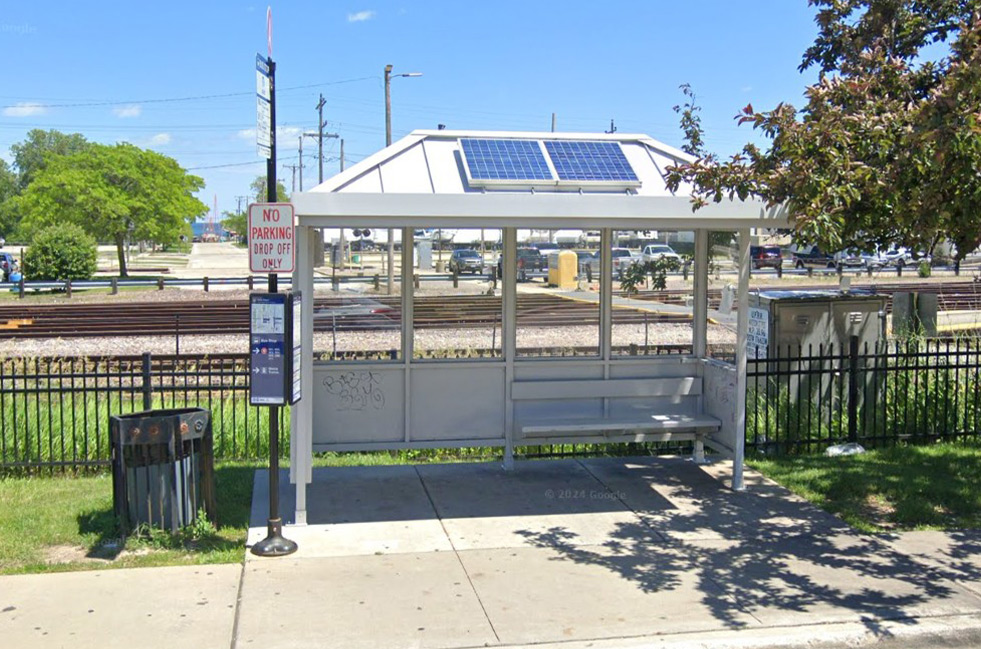
Transit agencies invest in station improvements to enhance safety, accessibility, and reliability, especially at older stations requiring ADA upgrades.
FHWA’s Safe Transportation for Every Pedestrian (STEP) program reports 23–48% reductions in pedestrian crashes with crosswalk visibility enhancements installed.
Pedestrians and bicyclists make up about 20% of all traffic fatalities nationwide, highlighting the need for separated facilities like multi‑use paths.
FHWA studies show roadway lighting improvements can reduce nighttime crashes by up to 38%.
Research links access management strategies to 20–50% reductions in crashes along commercial corridors.
FHWA research shows pedestrian refuge islands can reduce pedestrian crashes by up to 56%.
Leading pedestrian intervals can reduce pedestrian‑vehicle crashes at signalized intersections by up to 60%.
Protected left‑turn phasing can reduce left‑turn crashes by up to 44% at signalized intersections.
Edge line and shoulder rumble strips reduce single‑vehicle run‑off‑road fatal and injury crashes by 13–51%.
FHWA data shows grade separation virtually eliminates severe crossing crashes at treated locations.
Two-way left-turns can reduce crashes by up to 40% compared to undivided roadways.
Road diets result in 19–47% reductions in total crashes, depending on context.
Explore project information, timelines, and background materials.
Sign up for email updates or notifications to receive news about key milestones and engagement opportunities.
Join us at open houses and community events to learn more, and provide input directly to the planning team.
Help spread the word! Share information about the LRTP with your family, friends, and neighbors.
It starts with your voice – make it heard! Transportation planning only succeeds when it reflects the real experiences and priorities of community members. Whether you’re a daily commuter, local business owner, or parent, your perspective matters in creating a system that works for everyone.
Visit www.lakecounty2050.com to "drop a pin" on our interactive map and tell us where your concerns are.
Your engagement in this virtual open house is the first step in creating a transportation plan that truly serves Lake County’s needs.
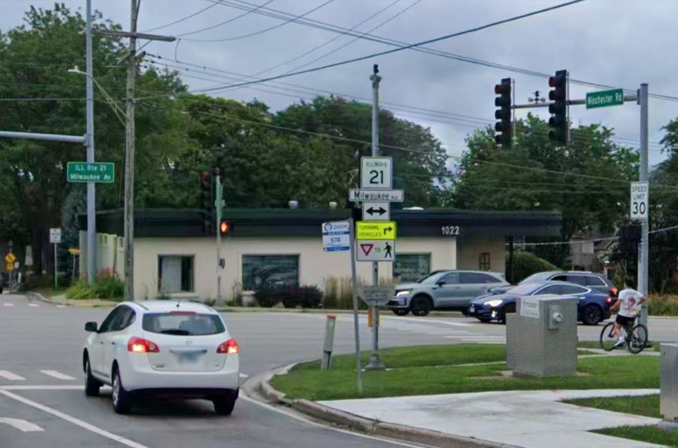
Lake County Department of Transportation
600 W. Winchester Road
Libertyville, IL 60048
Phone: (847) 377-7400
Email:
transportation@lakecountyil.gov
